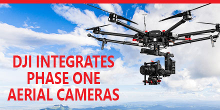
Phase One Industrial recently announced the full integration of its iXU and iXU-RS aerial cameras with
DJI’s M600 and
M600 Pro drones. Built using DJI’s SDK, this is just the latest drone platform supported by Phase One Industrial.
Phase One was the first to deliver 100-megapixel medium format aerial cameras. Since then, Phase One has continued to innovate inspection tools uniquely capable of addressing diverse aerial imaging applications. Those applications range from photogrammetry to critical infrastructure to monitoring projects.
High quality solution for aerial imaging applications
The aerial cameras’ integration with DJI’s M600 and M600 Pro platforms is delivering high quality solutions for aerial imaging applications.
“Using the Phase One Industrial IXU camera with the new Integration package for our DJI M600 drone, the results were extraordinary,” said UAV Flight Systems Manager Tobias Wentzler, Lufthansa Aerial Services. “We achieved millimeter per pixel accuracy, allowing us to inspect the required objects in exquisite detail and lift our mission results and accuracy to a new, high-end level, identifying the subtlest cracks or imperfections that were not visible to conventional inspection methods.”
Phase One continues to develop aerial imaging solutions that meet the exacting needs of aerial imaging professionals.
“When our clients hire us, they expect the best,” said Ron Chapple, CEO of Aerial Filmworks. “With the new Phase One Industrial aerial cameras integrated with DJI drones, Aerial Filmworks delivers robust performance, highest resolution and finest image quality to support our clients’ cinematic projects.
“GEO1, the survey division of Aerial Filmworks, a solutions-driven provider in the electric and gas/oil marketplace, also benefits from this development. Now, we have the right solution to help satisfy our clients’ requirements for the high-resolution data and flight efficiencies.”
Capabilities include
Phase One Industrial iXU and iXU-RS aerial cameras’ integration with DJI M600 and M600 Pro drone systems include:
- 100MP and 50MP metric aerial cameras
- Smart triggering of the camera by waypoints / fixed distance / fixed time
- Support for mission planning applications (such as DJI Ground Station pro) – for waypoints missions
- Geo-tagging of all files’ location and gimbal position
- Dual remote controllers (drone and camera) enable each operator (UAV pilot and camera operator) to focus on their respective mission goals
- Industrial-grade build of the camera and aerial lenses for use in harsh environments
Also, the integration provides a new iX Capture Mobile application for iOS. This application features an intuitive, user-friendly interface, and support for total remote control of the camera.
Phase One DJI Integration
Designed using the DJI open platform development tools, iX Capture Mobile offers various operating modes, including:
- Video Streaming
- Auto or Manual Capture settings to determine the values of the ISO, shutter speed and aperture
- Auto capture mode to enable image capturing by waypoints, fix distance or by time intervals
- Camera control via DJI Lightbridge 2 dials
The iXU and iXU-RS series of high-resolution, metric cameras are known for precision imaging, small size and low weight.
In addition, these cameras offer direct integration with other UAV manufacturers, including: Coptersystems, AerialTronics, Pulse Aero, and UMS Skeldar platforms. They also support the workflows of many leading image post processing software, such as: Pix4D, Agisoft, SimActive, and others.
Designed to capture images with superior accuracy and quality, Phase One Industrial aerial cameras are capable of covering larger aerial surfaces in less time, resulting in less flight time needed for efficient flying. As such, operators can enjoy both unprecedented visibility and a lower cost by utilizing drones rather than traditional airplane or helicopter methods.
In addition, drones offer improved worker safety across challenging environments, including: power line monitoring, inspection of wind turbines, railways, roads, bridges and other civil engineering jobs.
Phase One iXU and iXU-RS series camera systems are available immediately from partners worldwide, including Unmanned Systems Source. Camera package prices begin from $29,000 (complete with integration kit and lens). For more information,
please contact Unmanned Systems Source.

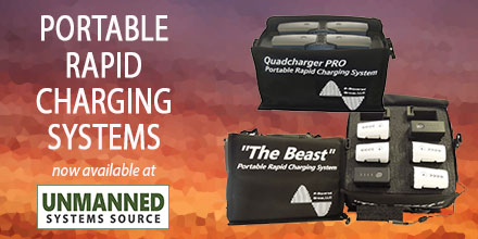 The power to extend flight time while in the field just got a little easier thanks to Colorado Drone Chargers.
Formerly known as P-Squared Group, Colorado Drone Chargers is a leading designer and manufacturer of rapid charging systems for unmanned aerial vehicles.
The company focuses exclusively on charging technology and ease of use for the customer.
The complete line of Portable Rapid Charging Systems (PRCS) is now available at Unmanned Systems Source.
“Our mission is to make and market the best products,” said Johnny Podrovitz, founder of Colorado Drone Chargers. “From day one, we have been committed to delivering exceptional products for the drone battery charging industry.”
The power to extend flight time while in the field just got a little easier thanks to Colorado Drone Chargers.
Formerly known as P-Squared Group, Colorado Drone Chargers is a leading designer and manufacturer of rapid charging systems for unmanned aerial vehicles.
The company focuses exclusively on charging technology and ease of use for the customer.
The complete line of Portable Rapid Charging Systems (PRCS) is now available at Unmanned Systems Source.
“Our mission is to make and market the best products,” said Johnny Podrovitz, founder of Colorado Drone Chargers. “From day one, we have been committed to delivering exceptional products for the drone battery charging industry.”
 Cyber vulnerabilities.
This is the reason given in a U.S. Army memo that orders troops to end all use of DJI drones for operations.
This a huge announcement, and was quite surprising, given that DJI drones are currently the Army’s top choice for an off-the-shelf UAS solution.
The memo released August 2, came from Lt. Gen. Joseph H. Anderson who serves as the Army’s deputy chief of staff for plans and operations. It states, “cease all use, uninstall all DJI applications, remove all batteries/storage media from devices, and secure equipment for follow on direction.”
The memo cited “increased awareness of cyber vulnerabilities associated with DJI products.” No other additional information was provided.
Cyber vulnerabilities.
This is the reason given in a U.S. Army memo that orders troops to end all use of DJI drones for operations.
This a huge announcement, and was quite surprising, given that DJI drones are currently the Army’s top choice for an off-the-shelf UAS solution.
The memo released August 2, came from Lt. Gen. Joseph H. Anderson who serves as the Army’s deputy chief of staff for plans and operations. It states, “cease all use, uninstall all DJI applications, remove all batteries/storage media from devices, and secure equipment for follow on direction.”
The memo cited “increased awareness of cyber vulnerabilities associated with DJI products.” No other additional information was provided.
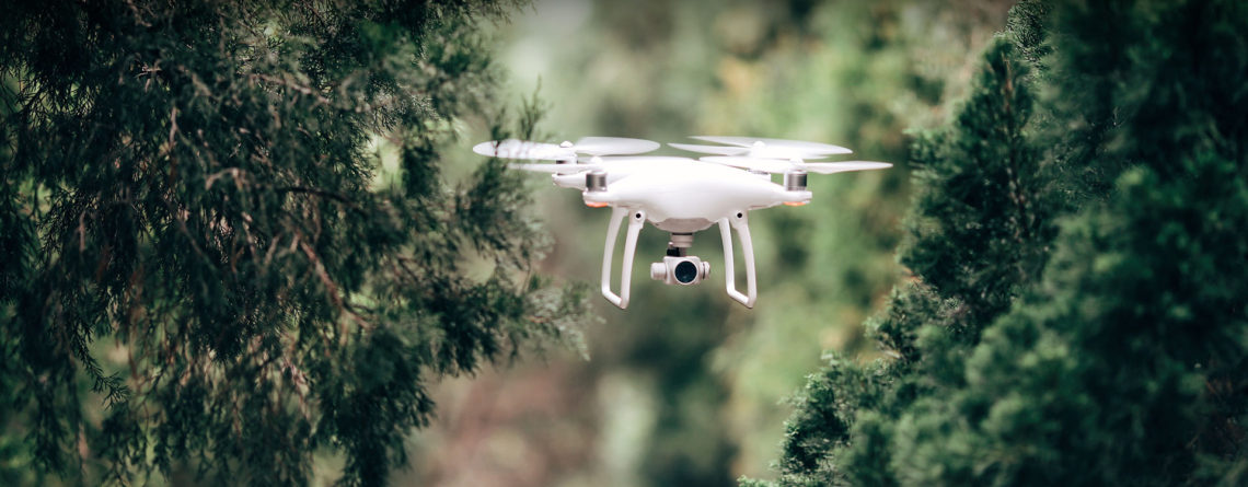
 The use of Unmanned Aerial Vehicles (UAVs) and all their forms – drones, multi-rotors, and quad-copters – has exploded in recent years. This explosive growth, coupled with increased affordability, has transformed the way industries approach business.
The film and photography industry are such an example; drone technology now provides access to views that were previously the domain of helicopters and fixed wings.
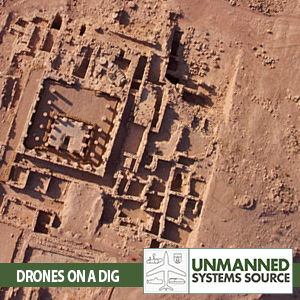
The advantages of drone-based imaging are many, and unmanned aircraft are fast becoming an indispensable tool to various industry professionals, including archaeologists. Drones offer archaeologists the ability to survey existing and future excavation sites in detail as well as provide a different perspective to workers on the ground.
The use of Unmanned Aerial Vehicles (UAVs) and all their forms – drones, multi-rotors, and quad-copters – has exploded in recent years. This explosive growth, coupled with increased affordability, has transformed the way industries approach business.
The film and photography industry are such an example; drone technology now provides access to views that were previously the domain of helicopters and fixed wings.
The advantages of drone-based imaging are many, and unmanned aircraft are fast becoming an indispensable tool to various industry professionals, including archaeologists. Drones offer archaeologists the ability to survey existing and future excavation sites in detail as well as provide a different perspective to workers on the ground.